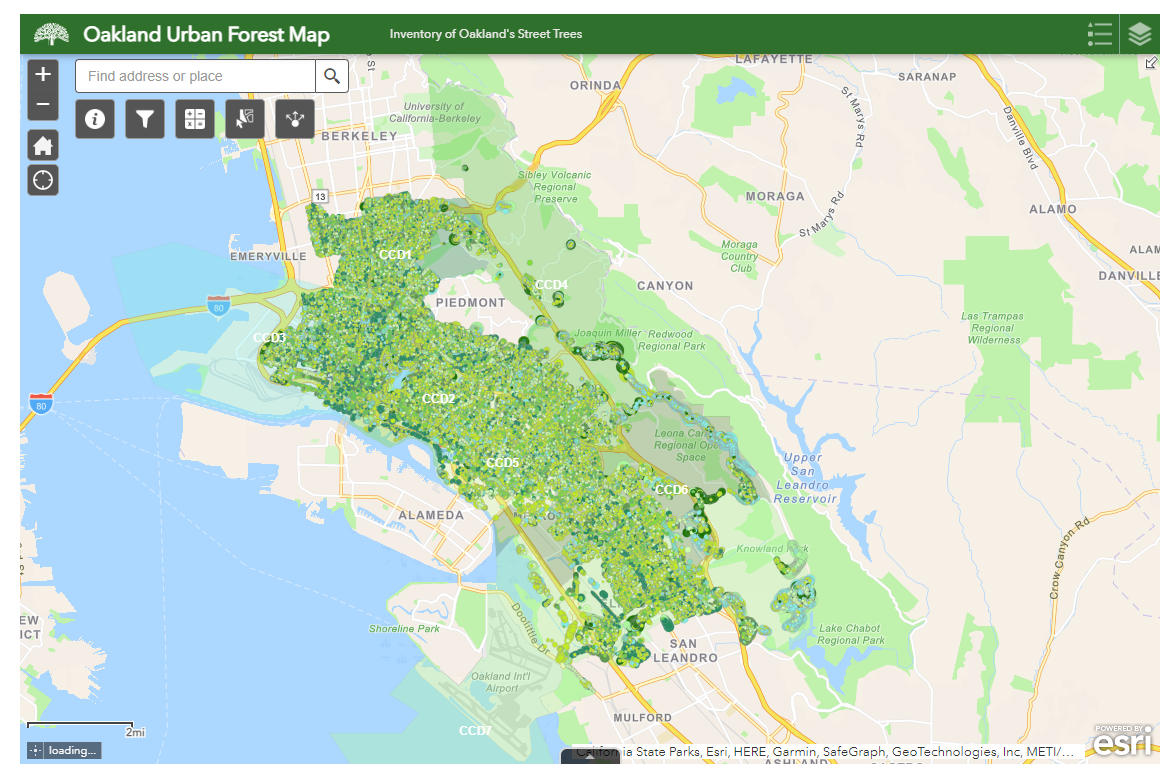
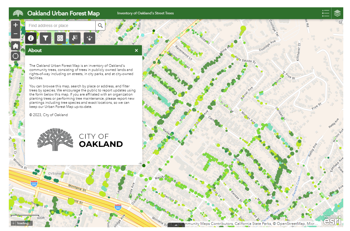
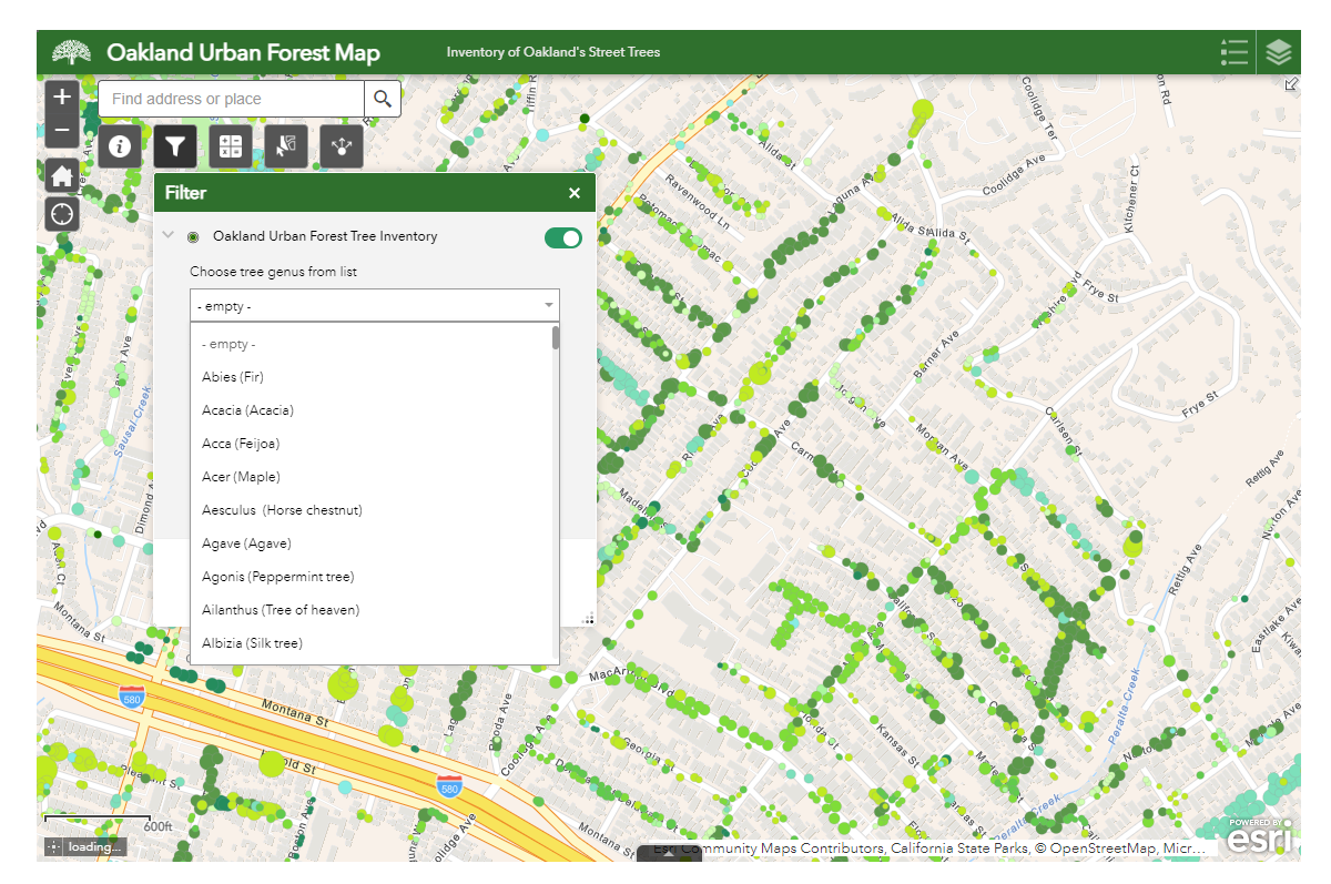
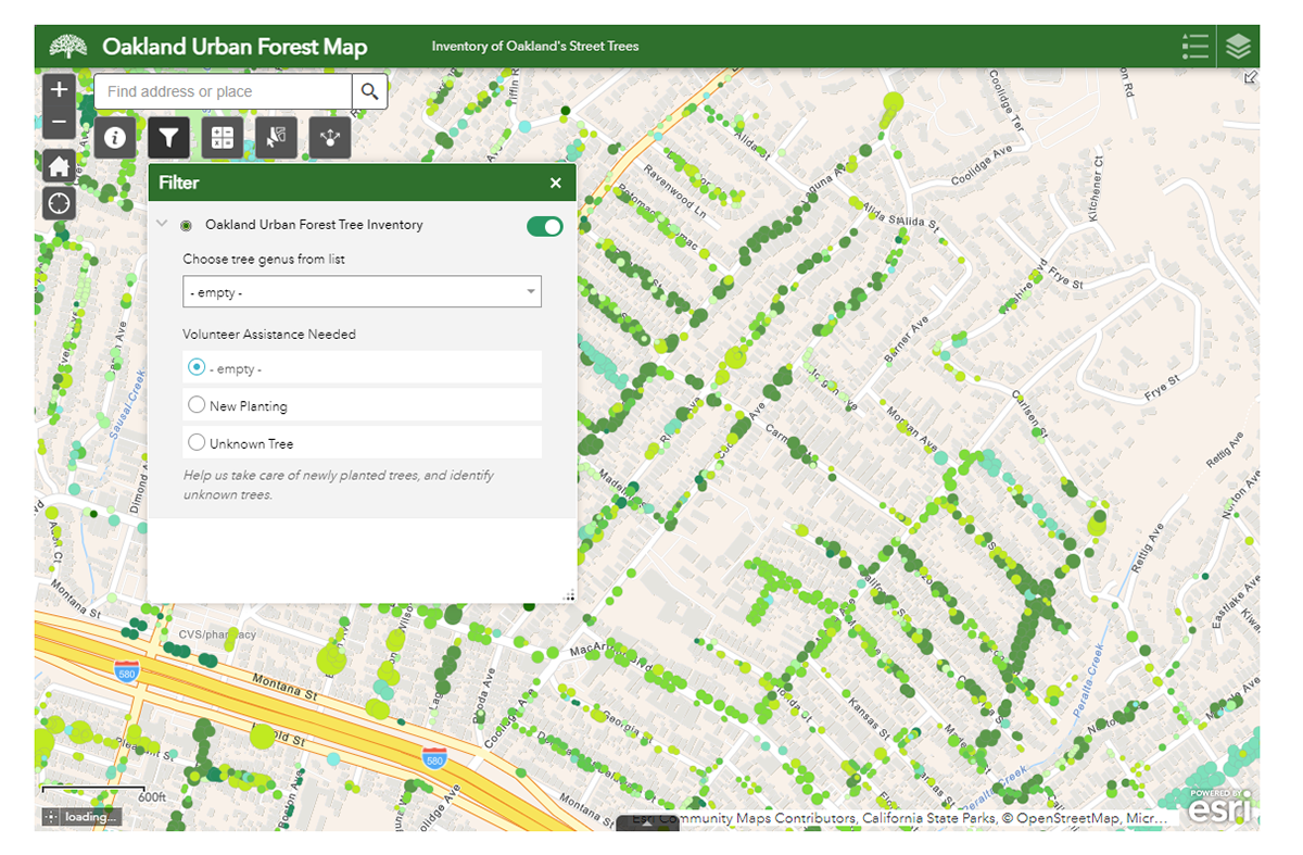
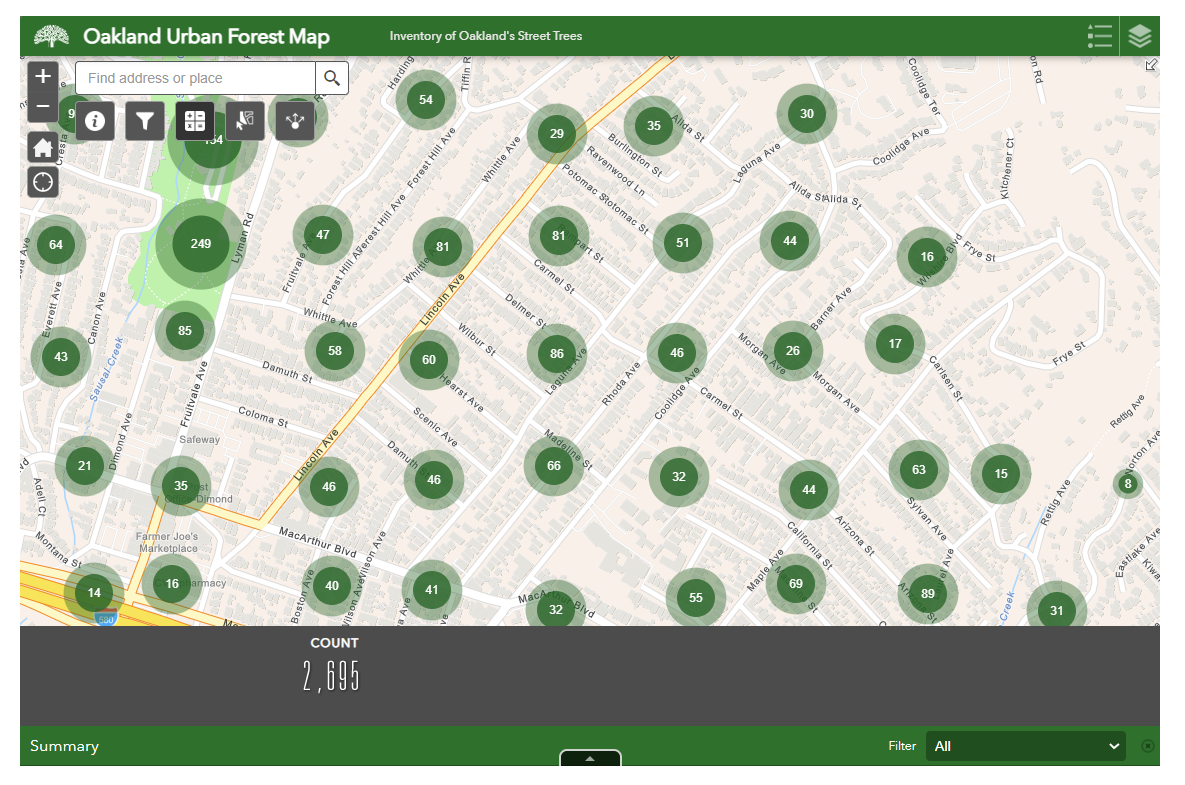
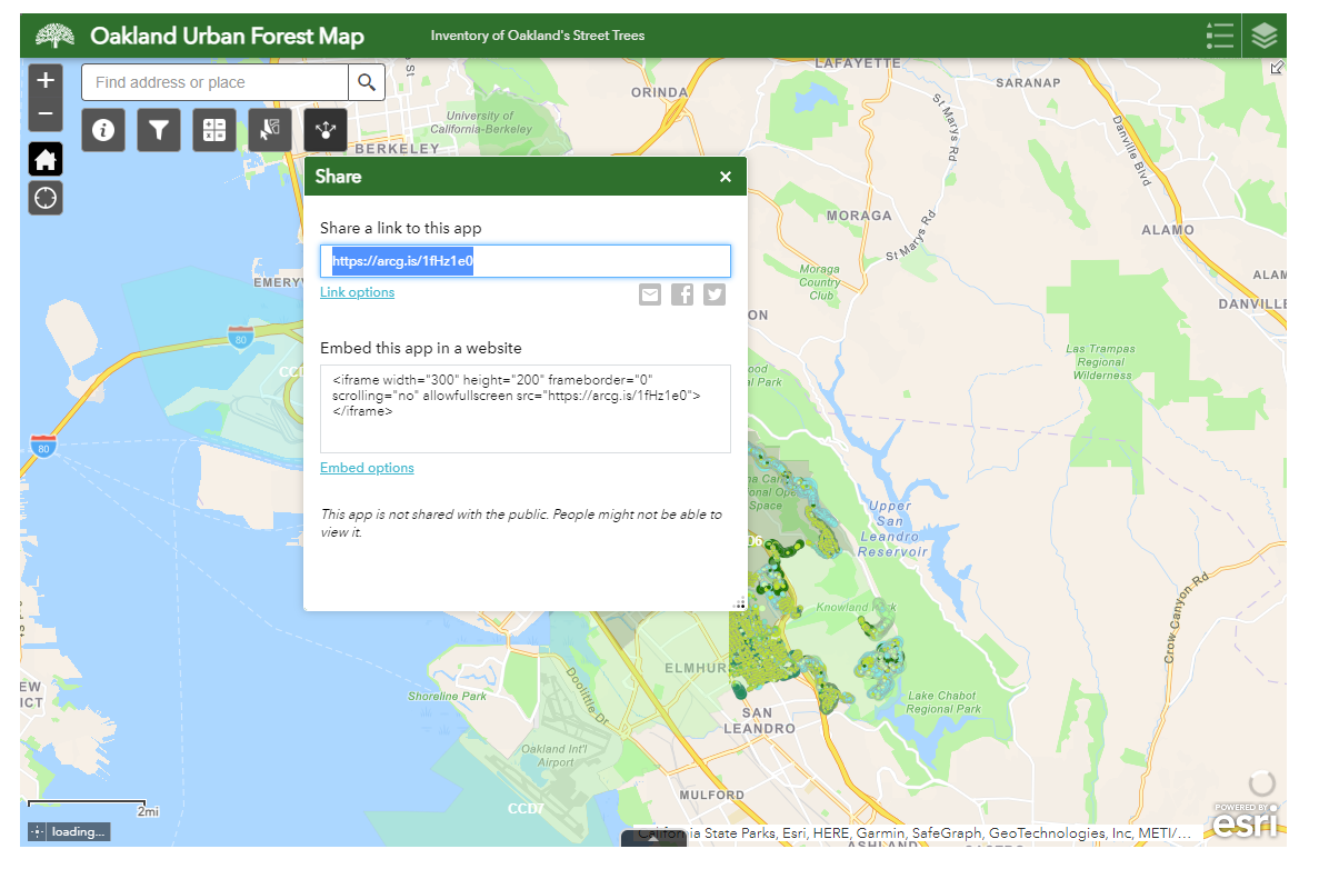
Urban Forest Map
Using Arc GIS Hub, I am working with a team of California Climate Action Fellows at the City of Oakland to create an interactive map of the City's street and community trees, as well as a webpage with additional content and user feedback mechanisms. This map is a work in progress, screenshots below reflect a preliminary test map.
![](https://cdn.myportfolio.com/3bda27cd-9d18-432d-9538-19cd48f7827e/7f756223-dc15-4181-b3fd-1dfdefad1fb8_rw_1200.png?h=d3016f112db0d941efefb71e9cb7a551)
![](https://cdn.myportfolio.com/3bda27cd-9d18-432d-9538-19cd48f7827e/e87eced3-eba6-44c4-9ed1-bac633da97f8_rw_1200.png?h=4fc1309cd467520c3dbca8c85b117d0a)
![](https://cdn.myportfolio.com/3bda27cd-9d18-432d-9538-19cd48f7827e/fe8acb95-7535-4b25-96cf-56f786a95e58_rw_1200.png?h=5e473a5c2feeb294339c120e9ddb3023)
![](https://cdn.myportfolio.com/3bda27cd-9d18-432d-9538-19cd48f7827e/192df89b-7a8b-4aac-b30a-34a423c9e0bb_rw_1200.png?h=9f5ce92f7f65df290742413f40c7384d)
![](https://cdn.myportfolio.com/3bda27cd-9d18-432d-9538-19cd48f7827e/84b1549f-3c42-4c7e-91fd-5c95c754c4be_rw_1200.png?h=4f0ab825ac27d64aad82eabf916240ed)
![](https://cdn.myportfolio.com/3bda27cd-9d18-432d-9538-19cd48f7827e/04df96bc-967a-4ea4-bc59-d7ffc958d11c_rw_1200.png?h=11552af4abc91a8ab33455b841dc86cd)
![](https://cdn.myportfolio.com/3bda27cd-9d18-432d-9538-19cd48f7827e/8f9f985e-9226-4e61-88c1-35ceb1bb13db_rw_1920.png?h=99f6ef677f9ac0b8efebdfc5bee7094f)
![](https://cdn.myportfolio.com/3bda27cd-9d18-432d-9538-19cd48f7827e/10bf1e86-b35f-409d-ba9c-02e0972937f0_rw_1920.png?h=13779e833f9ea06d50973b6b834caaa0)
![](https://cdn.myportfolio.com/3bda27cd-9d18-432d-9538-19cd48f7827e/e3e90837-a0f9-44ca-94c3-b53926436c95_rw_1920.png?h=108170c6357cfaebbf1621a107585e5d)
![](https://cdn.myportfolio.com/3bda27cd-9d18-432d-9538-19cd48f7827e/38014225-bae0-4bb0-995e-0da5ff2409d6_rw_1920.png?h=79f9b4d1c836d3fc44fa800d1242a987)